Thursday 24 March 2011

Day 8: 3/5/86 Bangor to Red Wharf

Distance:  31.5km (19.6 miles)    Total Distance:   90 miles


I drove up from Coventry to North Wales the previous night (Friday) and stayed with an aunt of mine in Bangor.  After breakfast I drove down to the pier at Bangor and began another year of coastal path walking. 


My first view of Menai Bridge - through some barbed wire


Menai Bridge - looks a long way up there


I walked mainly along the sea front to Menai Bridge, past the university rowing clubhouse. Menai Bridge is in amazingly good condition considering it was built in the 1830s – no rust at all.


I had a choice to make when approaching the bridge - do I cross it or stick to the mainland.  Having already thought about this a fair bit I decided to cross it.  My rule was to be that if an island was connected to the mainland by a bridge then I would walk around it.


View down the Manai Straits


From the bridge I headed north to Beaumaris, mainly along the road as there private houses blocking the way to the foreshore. I did manage to get down to the front for the last mile. I bought a pint of milk off a local milk float.  The morning was showery and I learnt later that it was the day that most of the radioactive cloud had been over Britain arising from the nuclear accident in Chernobyl.

Back over the strait and Bangor Pier


I bought some sweets and pop in Beaumaris but did not see too much of the castle.  From there up to the headland at Puffin Island I was able to mainly walk along the front.  I got chased by a crazy pack of dogs at Trwyn y Penrhyn and had to scramble over seaweed clad roots at the headland itself. 
Beaumaris Castle on a damp day.


Looking back across to at the North Wales mountains

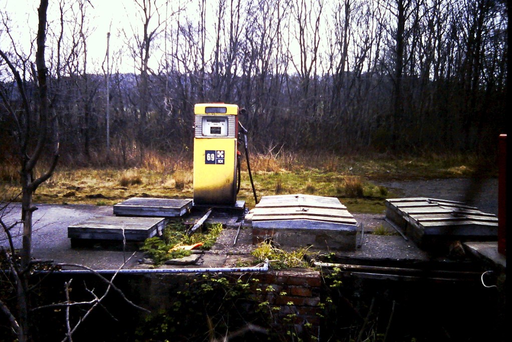
A disused factory just north of Beaumaris

Puffin Island

Puffin Island with the Grear Orme in the background

I tried to keep to the coastline but the quarry near Trwyn Dinmor proved impossible to go past fully.  I had enough of trespassing by the time I got to Bwrrdd Arthur so cut inland and then down the hill to the start of Red Wharf Bay.  From here on I decided to try and not trespass too much mainly because some farmer’s hedges and fences were impregnable!


Red Wharf Bay - looking rather blue

A wonderful cafĂ© caravan, which served large mugs of milky coffee, owned by a Cheshire bloke was situated at the start of the bay.  I walked around the bay having to keep to the sea wall for quite a while. 

This was part of the same walk I had done with the scouts many years earlier when camping at the Bangor international jamboree. It was a walk where a group of three of us were dropped off somewhere, carrying all our provisions and tent and told to where we could camp for the night.  I recall stopping at a house and asking for a drink as we'd obviously not bought enough water, only to be given bottles of Canada Dry, not thirst quenching at all.  That night the area was hit by a storm.  We survived OK but the jamoree site at Bangor suffered and half the tents got flattened. Someone was sent out to check on us the following morning only to find us sound asleep in the tent and a slug crawling over my face. 

I got two lifts back to Bangor, one from a pensioner and one from a gambling machine repairman with a series of hospital stories.  That night I camped at Dinas campsite, near Bangor.  I went into Bangor that night after popping in to see yet another uncle. 

Tuesday 22 March 2011

Day 7: 26/8/95 Deganwy to Bangor

Distance:  27.7 km (17.2 miles)      Total Distance:   70 miles


I parked the car at Deganwy and set off on what would be the longest days walk of the project date. I crossed the River Conway on the Telford's white suspension bridge in glorious sunshine, but rather than enter the walled town of Conway (Conwy in Welsh) I headed north along the quayside and past the smallest house in Britain. It was built as a fisherman's cottage and it is said that the last person to live in it was 6'3" - who do doubt developed a permanent stoop. 

Exiting the town I headed along the estuary and past the golf course.

The castle, built by the King Edward I in 1289 to try to keep the Welsh down lies on the west side of the river. It is built on top of the tomb of Llewellyn the Great, the last Prince of Wales.
Start of Day 7 - looking across the Conway estuary

Conway Castle on a wonderful summer day

Britain's smallest house - I know that 'cos it says so on the outside.

The morning was memorable for the road tunnel and the disused quarry buildings I past.  Apparently my grandfather had a job in one of these granite quarries for a short while.

One of the road tunnels on the A55 constructed in the 1930s - what a bore.

At Llanfairfechan I had lunch in a pleasantly done-out arty type restaurant on the sea front. 


It's dark in here - that's the sea over there.
Another tunnel - let's hope there's no lorry coming.


The road and railway certainly hugs the coast along this section

Between Llanfairfechan and Penrhyn Castle quite a few people appeared to be doing the same walk.  The path around Penrhyn Castle was tricky to navigate; it was very muddy and necessitated clambering over stone walls.  I scared the life out of some bloke sitting on the waterfront drinking a bottle of beer - he thought I was the ghost of Penrhyn Castle.  I shared a beer with him and chatted before making my way into Bangor and catching a train back to Llandudno Junction and walking back to Deganwy to collect the car.
Having a rest and looking back on the days walk so far

So I started and ended the day with a castle, the only difference being that Conway is authentic and Penrhyn is a mock castle built between 1820 and 1840.  Penrhyn Castle was designed by Thomas Hopper and built for the Pennant family who had made much of their fortune as owners of slate quarries in north Wales.  I felt like knocking on the door and asking for a tour round as my ancestors, many of whom worked in the slate quarries, obviously helped amass the Pennant fortune.

Sunday 20 March 2011

Day 6: 25/8/85 Colwyn Bay to Deganwy

Distance:  20.9 km (13.0 miles)      Total Distance:   57 miles


So here I am, back for another holiday walking the coast.  I had a very early start from the campsite and had begun walking from Colwyn Bay by 6.00 am.

Starting off from Colwyn Bay

The walk was very straightforward at the beginning. There was no chance of getting lost - it was along the coast road. The seafront road took me past Rhos-on-Sea and lasted until  Penrhyn where there were already people up taking an early Sunday walk.

Industrial archeology on Little Orme

The walk over the Little Ormes Head was steep. It was first climb of the whole walk, but the view of Llandudno from the top was spectacular. 
Looking back towards Penrhyn from Little Ormes Head

Llandudno from the Little Orme

Llandudno looked regal in the sunshine and I took in the pier too.

Llandudno from the pier

Most of the walk around the Great Orme was on the road.  The summer flowers on the western side were pretty.  

The western side of the Great Orme

I had a lunch appointment so needed to get back to Colwyn Bay to get the car.  After rounding the Great Orme I therefore cut back across the neck of the peninsular to Llandudno. On getting back to Llandudno however it started to rain.  I tried hitching a lift back to Colwyn but nobody was stopping in the wet conditions so I ended up walking back instead. 


I went to yet another Aunt and Uncles for dinner - this is getting to be a habit!   It poured with rain in the afternoon but cleared sufficiently in the evening for me to walk the stretch from from Llandudno to Deganwy, stopping when it got dark - and walk back again. I'd walked 13 more miles of the coastline but a good few more miles in the opposite direction today.

I camped at Conwy that night.

Saturday 5 March 2011

Day 5: 24/8/85 Rhyl to Colwyn Bay

Distance:  19 km (11.8 miles)      Total Distance:  40 miles


I drove up early from from Coventry and took the opportunity to visit an Aunt and Uncle of mine who live in Rhyl. They kindly gave me breakfast after which I thought it was about time I braved the strong wind and set out, crossing the River Clwyd and along the concrete promenade that took me all the way to Abergele.

The donkeys of Kinmel Bay having a quiet day

With lots of caravan parks, this stretch must be hell in good weather.  Hell that is if like me you like peace and quiet and watching nature, great that is if you like hustle and bustle of the seaside resort and noise of amusement parks. It was a very blustery day that kept all but a few holiday makers inside. I had lunch in a handy beach cafe - so I must be less critical. 

The walk to Colwyn Bay was a lot more interesting.  Near Llanddulas I passed two jetties alongside the A55, which load ships with limestone from local quarries. The shoreline itself was protected with strange concrete shapes. no doubt the result of an extensive research programme to find which shapes offer greatest protection and don’t slide over each other.

Trying to capture a moody shot - don't worry, it's the only one of the whole walk.

OK, I lie, here's another one that didn't work.
It's a jetty used for taking bits of Wales off to other countries.

Weird concrete shapes - sea defences?

Going mad with the camera - make the most of it, I don't take many photos at all after this year.

Walking in jeans - did I really used to do that!

Entering Colwyn Bay it was back to promenade again. I caught the train back to Rhyl and had a cup of tea before going to pitch the tent at Cwybr camp site. 

After setting up camp I went to have tea with my Aunt and Uncle and their daughter and husband over from America.  I wonder how many distant relatives I have living around the coast?  It may come in useful!